


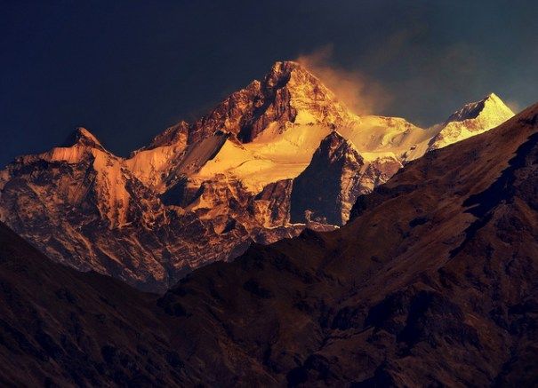
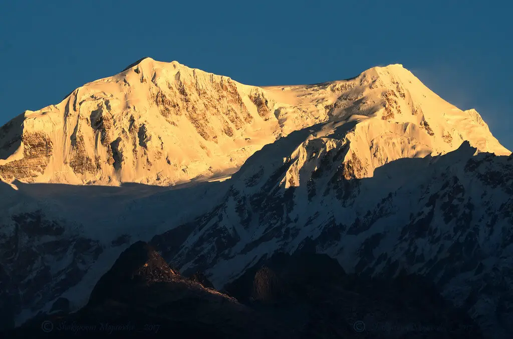
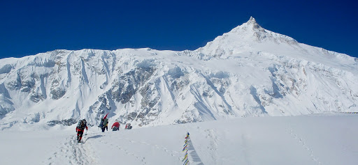
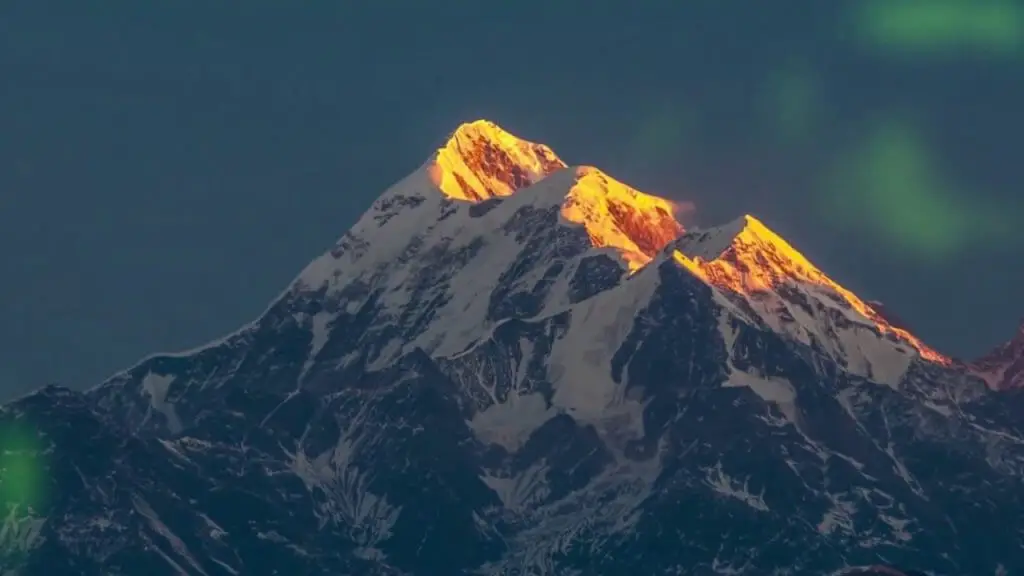
1.Kanchenjunga
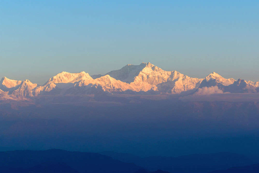
Height: 8586 m
Place: Sikkim
Kanchenjunga is the highest peak in India and the third highest peak in the world. It stands tall between Nepal and Sikkim, India, within a proximity of the border. It is surrounded in the east by the Teesta River, Tamur River in the west, in the north by the Lhonak Chu, and by Jongsang La.
The mountain and its glaciers receive a lighter snowfall during the winter and heavy snow during the summer monsoon season. Kanchenjunga’s name is a derivation from four words belonging to Tibetan origin, usually rendered Kang-Chen-dzo-nga or Yang-chhen-dzö-nga that interprets in Sikkim as the “Five Treasuries of the Great Snow.”
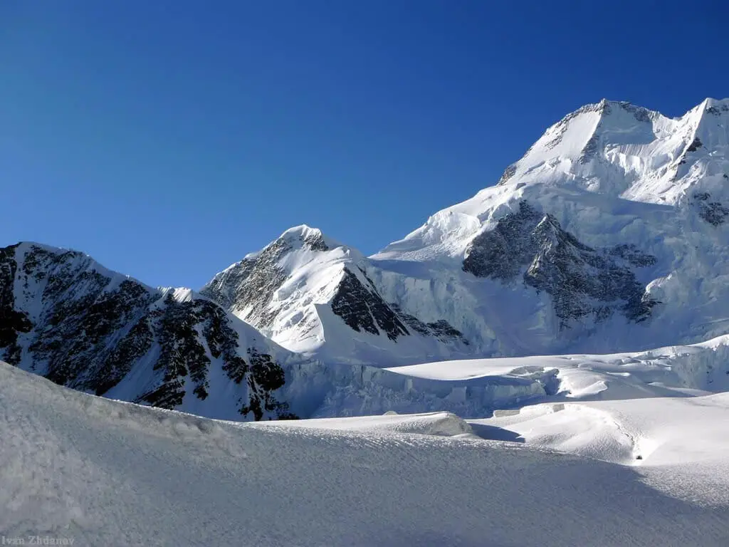
2.Nandadevi
Height: 7816 m
Place: Uttarakhand
It is the second-highest mountain in India and the highest one located entirely within the country. Nanda Devi is a part of the Kumaon Himalayas, and snow covers the mountains throughout the year. Glaciers and snowmelt feed the Ganges River’s headstreams in torrents that leap through gorgeous and steep-slide terrains.
At lower elevations, the temperate encourages year-round settlement, and farmers raise livestock, and they cultivate on the terraced, irrigated slopes. The Nanda Devi national park and Valley of Flowers National Park is renowned for its meadows of endemic alpine flowers and outstanding scenic beauty.
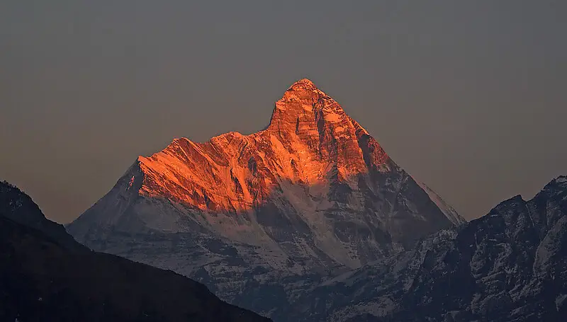
3.Kamet
Height: 7756 m
Place: Uttarakhand
Kamet, situated near the Tibetan Plateau, is highly remote and not as accessible as other Himalayan peaks. It has a relatively straightforward ascent for such a high mountain. In early 1855, Several attempts to climb Kamet began, but the first ascent was until 1931 by Frank Smythe, Eric Shipton, R.L. Holdsworth, and Lewa Sherpa.
They were the members of a British expedition. Until the first ascent of Nanda Devi Kamet was the first summit over 7,620 m to be climbed and was the highest summit reached in five years. Its appearance is like a giant pyramid topped by a flat summit area with two peaks.
4.Saltoro kangri
Height: 7742 m
Place :
Saltoro Kangri is the highest peak of the Saltoro Range, a part of the Karakoram. It is in a very remote location deep in the Karakoram range, situated on the Actual Ground Position Line between the India controlled territory in the Siachen region and the Pakistan controlled territory west of the Saltoro Range.
The first ascent of Saltoro Kangri was by a Japanese-Pakistani expedition team, led by T. Shidei, in July 1962. Later, in 1982, this peak was climbed by an Indian Army expedition led by Colonel Narendra Kumar.
5.Saser kangri
Height: 7672 m
Place: Ladakh
Saser Kangri is the highest peak in the Saser Muztagh. It is an attractive mountain that reigns between the river valleys of Nubra and Shyok. A comparatively unexplored mountain that stands in Ladakh at the end of a long and interesting approach along the Central Asian trade route. From the Nubra Valley,
early climbing attempts occurred on the western side of Saser Kangri, which is more populated, and hence more easily accessible than the eastern side. Finally, In 1973, an expedition by the Indo-Tibetan Border Police succeeded, thus making it the first ascent of the peak, following a very difficult route.
6.Mamostong kangri
Height: 7516 m
Place: Ladakh
K35 or Mamostang Kangri is the highest peak in the remote Rimo Muztagh. Located in the Karakoram range in Ladakh union territory of India near its border with China. On the slopes of Mamostong Kangri The South Chong Kumdan Glacier, Kichik Kumdan Mamostong, and South Terong Glaciers head downwards.
This peak has never been a great deal for visitation because of its remote location and the unsettled political and military situation in the region. The first ascent, made by an Indo-Japanese expedition, via the Northeast Ridge, after a complicated approach was in 1984, a summit party comprising N. Yamada, K. Yoshida, R. Sharma, P. Das, and H. Chauhan.
7.Teram kangri
Height: 7462 m
Place: indo-china border
The Teram Kangri is a mountain located in the remote Siachen Muztagh that is a subrange of the Karakoram range. The peak rises on China and India’s boundary between the disputed Siachen Glacier region, which is also very near to the line of control between India and Pakistan. India currently controls the southwest side in the disputed Siachen area, and the northeast side of the peak is in Chinese-controlled territory.
The first team to climb Teram Kangri I, on August 10, 1975, was a Japanese expedition led by H. Katayama. they made the long approach via Bilafond La, and climbed the SW ridge of Teram Kangri II and then took the East ridge to the top.
8.Jongsong peak
Height: 7462 m
Place: china-India-Nepal tripoint
Jongsong Peak lies in the Janak section of the Himalayas. It is the 57th highest peak in the world, although dominated by 3rd highest, Kanchenjunga. Jongsong’s summit stands on the tri-junction of India, Nepal, and China.
The first ascent was in 1930 consisting of members of a German expedition and led by Gunther Dyhrenfurth. Until the first ascent of Kamet, Jongsong was the highest climbed peak in the world. The first ascent team of Jongsong peak includes several members of the International mountaineering organization Himalayan Club. A team from the Kolkata section of the Himalayan approached the Jongsong peak’s east summit through a new route via the eastern ridge of the Jongsong peak from the col between the Jongsong range and an adjoining peak called Dome Kang.
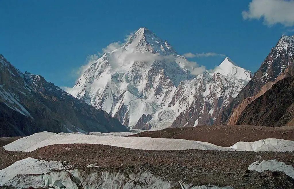
9.K2
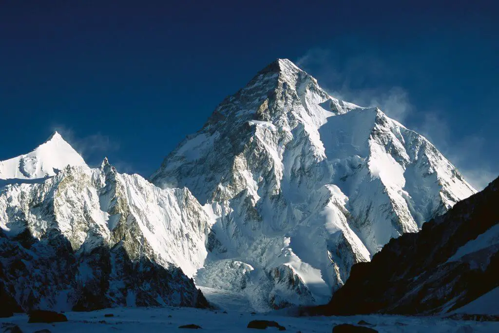
Height : 7428 m
Place : karakoram range, ladakh
K12 is the second highest peak of the Saltoro Mountains, of the Karakoram range in the Siachen, Ladakh, India. It stands tall near the Line of Control between the areas controlled by India and Pakistan.
Named from its designation given during the original survey of the Karakoram range. The western slopes of K12 flow to the Bilafond Glacier system, and then to the Dansam River, eventually it also feeds the Indus River.
10.Kabru
Height: 7412 m
Place: India Nepal border
Kabru lies in the Himalayas on the border of eastern Nepal and India. It is a part of the ridge that extends south from Kangchenjunga. The summit of Kabru is an example of mountaineering altitude records.
The English barrister William Graham, the Swiss mountain guide Ulrich Kauffmann, and the Swiss hotelier Emil Boss reached a point 30-40 feet below this summit, and Graham described it as “little more than a pillar of ice”. The north-northwest pillar of Talung first climbed in 2015 by two Ukrainian climbers, Nikita Balabanov and Mikhail Fomin, who won the Piolet d’Or for their climb.
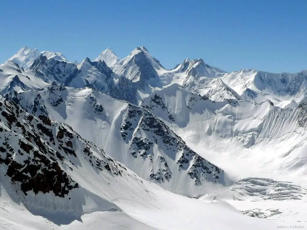
11.Rimo
Height: 7385 m
Place: Ladakh
Rimo I is the main summit of the Rimo range. It stands in the subrange of the Karakoram range in Siachen, the northern part of the remote Rimo Muztagh. It is the world’s 71st highest mountain, located 20 km northeast from the Siachen Glacier’s snout.
The word Rimo means “striped mountain”. The Rimo Glacier, originating here, feeds to the Shyok river. its remote location in the eastern Karakoram’s heart was little-known and almost entirely unexplored until the twentieth century.
12.Singhi kangri
Height: 7202
Singhi Kangri is a peak in the Karakoram Range. It is located near the border between China and India’s Siachen Glacier region.
Place: Ladakh
A Japanese expedition first climbed it in 1976. The meaning of singhu kangri is a difficult peak and it boasts of difficult dredging trails.
13.Hardeol
Height: 7151
Place: Uttarakhand
Hardeol means the ‘Temple of God’. It is one of the major peaks of the Kumaon Himalaya and also the highest peak on the northern side of the Nanda Devi Sanctuary. it lies at the northeast corner of this ring and situated at the northern end of the Milam valley, Pithoragarh district of Uttarakhand, India.
Trishuli lies to its immediate north and Rishi Pahar is in the south, which eventually leads to Nanda Devi East. Hardeol is also known as Trishuli South.
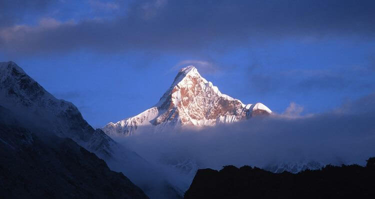
14.Chaukhamba
Height: 7138
Place: Uttarakhand
Chaukhamba I is the highest peak in the Gangotri Group of the Garhwal Himalaya that stands at the north of the Gangotri Glacier and forms the east’s anchor in the group.
the peak means four pillars referring to its four peaks that lie at the Gangotri glacier’s head. The picturesque setting of this high peak is more popular with trekking enthusiasts.
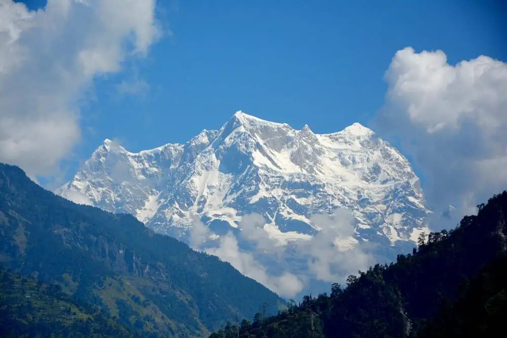
15.Trishul
Height: 7120
Place: Uttarakhand
Trisul is a group of three Himalayan mountain peaks of western Kumaun, named after the Hindu Lord Shiva’s weapon. The three peaks represent a trident, an English equivalent of the Sanskrit Trishula.
The mesmerizing beauty and pure bliss of Trisul is a sight to soak up in all its captivating glory. one of the highest in India; this is a peak that attracts tourists by its prominent characteristic and with its simplistic beauty.